
Technology
Unique equipment and systems with exceptional performance
World-class mapping cameras, a unique bathymetric LiDAR and dedicated aircraft — all owned and operated by the company.
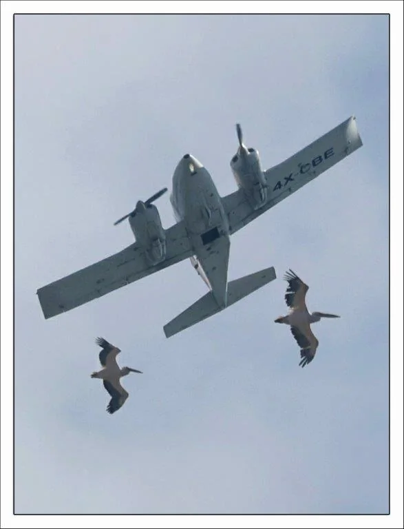
Aircraft
A fleet of twin-engine Piper Aztec aircraft
The company leases dedicated twin-engine Piper Aztec aircraft, whose significant advantages make them especially suitable for its work:
- Immediate mission availability — the company’s equipment is permanently installed in the aircraft.
- Versatile photography — large photo openings allow imaging at both low and high altitude.
- Long flight time — enlarged fuel tanks allow over 6 hours of continuous flight.
Large-format camera
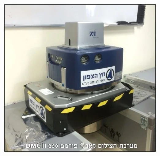
Leica DMC250 by Hexagon
A large-format digital aerial camera system — among the best in the world for precise photogrammetric mapping. It was approved by the Survey of Israel for precise engineering mapping at 1:250 scale, grade 3, quality class A.
- Aerial imagery for accurate mapping.
- Colour orthophoto.
- 4-channel multispectral imaging, including NIR.
With this system the company has in recent years provided extensive aerial photography for the State of Israel through the Survey of Israel, as well as photography services for survey firms.
Medium format · backup
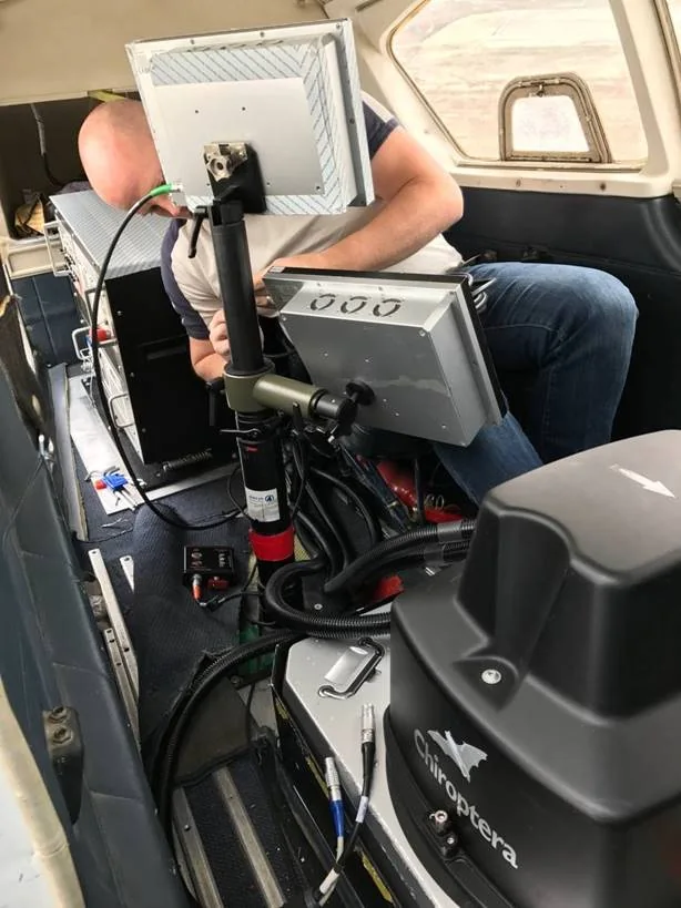
Leica RCD30
A medium-format digital aerial camera system for precise photogrammetric mapping. It was approved by the Survey of Israel for engineering mapping at 1:250 scale, grade 3, and delivers aerial imagery for accurate mapping, colour orthophoto and 4-channel multispectral imaging, including NIR.
It serves as backup to the large-format system and is routinely flown together with the LiDAR system — so every scan is accompanied by colour aerial imagery.
Airborne bathymetric & topographic LiDAR
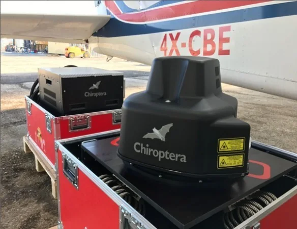
Leica Chiroptera 4x
A unique, expensive system, among the few in the world equipped with a precise IMU, scanning topography and bathymetry simultaneously down to a seabed 25 metres deep at high accuracy.
- Continuous scanning as one unit at high point density.
- Combined with colour RGB and NIR digital aerial imagery from a precise mapping camera.
- Mapping areas and depths in the Dead Sea for documentation and quantity monitoring — a unique job.
- Depth mapping in the Sea of Galilee, Lake Hula, the Dead Sea, the Mediterranean, water reservoirs and streams.
Examples
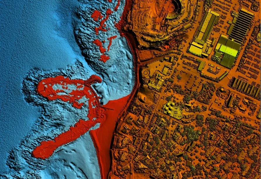
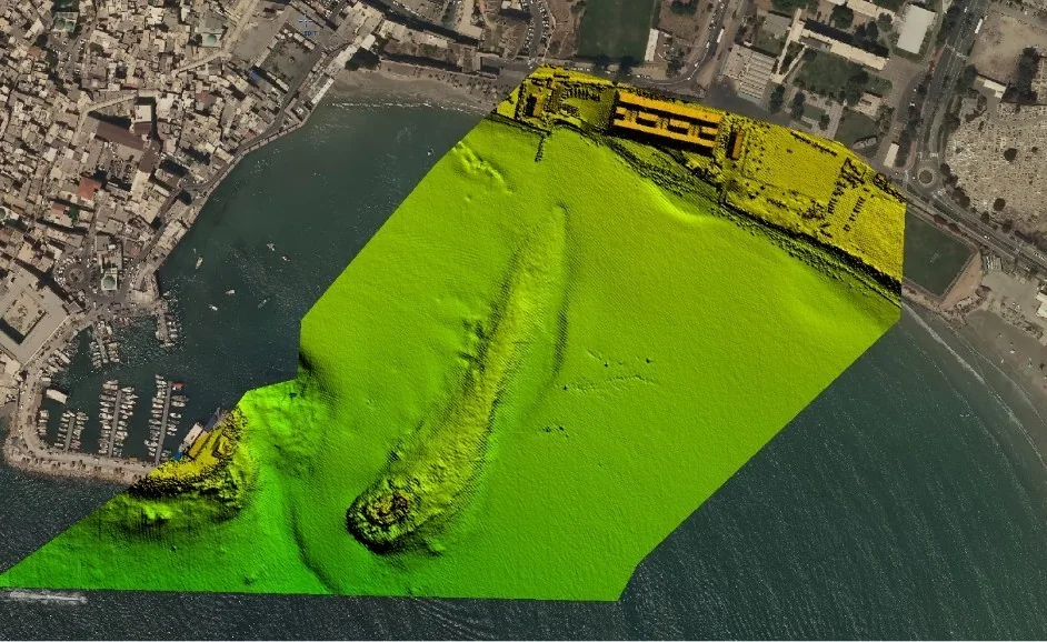
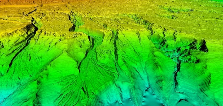
Examples of airborne, marine and land LiDAR scans
The company’s LiDAR system scans many types of terrain at different sizes, at engineering accuracy and in short timeframes.
Equipment FAQ
What makes the Chiroptera 4x unique?
Are the company’s cameras officially approved?
How long can the aircraft stay airborne?
Want to know which equipment fits your project?
We’ll gladly match the technology — imaging, LiDAR or surveying — to your project’s needs.