
Services
Our Areas of Expertise
A holistic service combining professional departments operating in parallel — from aerial photography to final land registration.
Aerial Mapping & Photogrammetry
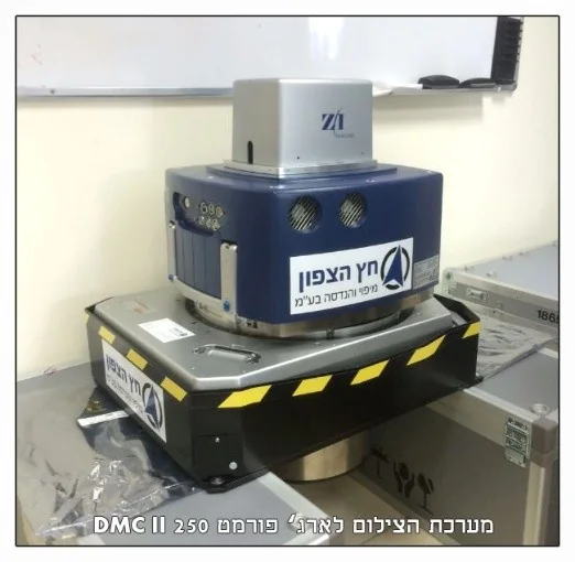
Photogrammetric mapping, vertical and oblique aerial photography, colour and multispectral orthophoto and GIS — with the Leica DMC250, one of the world’s best systems, approved by the Survey of Israel.
- Photogrammetric mapping for town plans and urban renewal
- Vertical and oblique aerial photography for planning
- Drone aerial photography
- Colour and multispectral orthophoto (4 channels, incl. NIR)
- Geographic information systems (GIS), visualisation and modelling
- Aerial photography for documentation and supervision
LiDAR Scanning
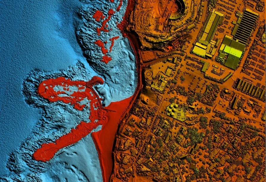
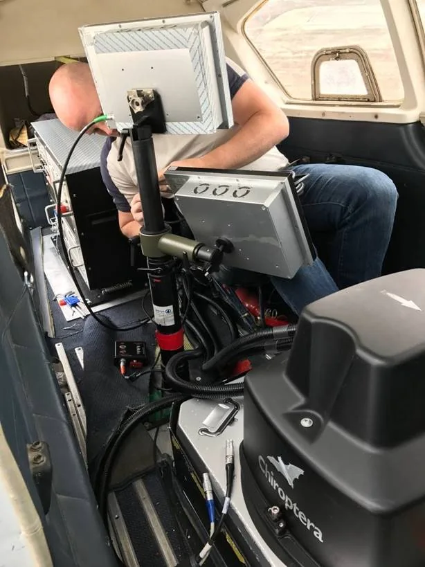
Airborne, ground and marine laser scanning with world-leading technology — the Leica Chiroptera 4x scans topography and bathymetry simultaneously, down to a seabed 25 metres deep.
- Aerial, ground and marine LiDAR
- Leica Chiroptera 4x — unique and among the few in the world
- Simultaneous bathymetric and topographic scanning to 25 m depth
- Precise IMU; continuous scanning as one unit at high point density
- Combined with RGB and NIR digital aerial imagery
Land Surveying
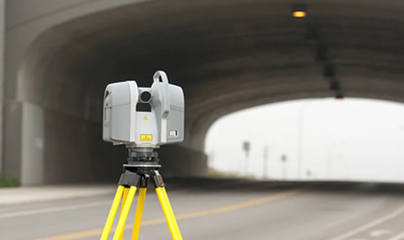
A leading land-surveying company committed to high-quality work — with 6 full land-survey crews operating in the field on an ongoing basis, using advanced laser and GPS‑RTK equipment.
- Surveys for planning purposes
- Site surveyors for the Ministry of Construction & Housing
- Site surveyors for the Israel Land Authority
- Expropriation plans
- Geodetic control networks (vertical and horizontal)
- GPS control points
- Surveys for property-tax (arnona) calculations
- Surveys abroad
Marine Surveying
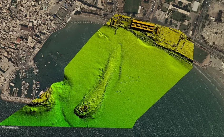
Bathymetric surveys in lakes and along the coast, carried out with a certified marine surveyor and combined with airborne LiDAR scans — for complete seabed mapping for planning, management and safety.
- Bathymetric surveys in lakes and along the coast
- Carried out with a certified marine surveyor
- Combined with airborne LiDAR scanning
- Complete seabed mapping for planning, management and safety
Appraisal, Cadastre & Land Registration
Boundary reconstruction, registration plans, town-plan compilation, area calculations for balancing tables, appraiser support and expropriations — with over 400 registration plans approved a year with the Survey of Israel.
- Boundary reconstruction of blocks and parcels
- Registration plans (TZAR), including 3D
- Auditing surveyor for the Survey of Israel
- Town-plan compilation and ownership plans
- Appraiser support, allocation and balancing tables, urban renewal
- Surveys and consulting for expropriations and legal opinions
Multidisciplinary services — departments working in parallel
In addition to the services described, the company offers multidisciplinary services combining several departments that work in parallel. These services are unique to the company and require exceptional capabilities — they are performed by company employees, not subcontractors.
Examples: expropriation-process support, surveys for town plans in open areas, site surveyor for the town-plan phase, registration plans and land registration, surveys, road and infrastructure surveys for various purposes, and more.
Quality & Standards
ISO 9001:2008
Meeting the strictest quality standards
Survey of Israel
Systems approved by the national mapping agency
Approved Supplier
Listed in national-level quality supplier databases
Need mapping or surveying services?
We'll tailor the exact solution — across all company departments.