
Land Surveying
A leading land-surveying company committed to high-quality work — with 6 full land-survey crews operating in the field on an ongoing basis, using advanced laser and GPS‑RTK equipment.
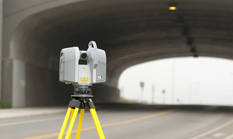
Land surveying — uncompromising quality
Hetz Hazafon Mapping & Engineering is a leading company in land surveying, committed to high-quality work. Land surveying is the starting point of every planning and construction project: design, expropriations, construction and supervision all derive from it — so accuracy, reliability and meeting schedules are at the core of what we do.
6 full land-survey crews in the field
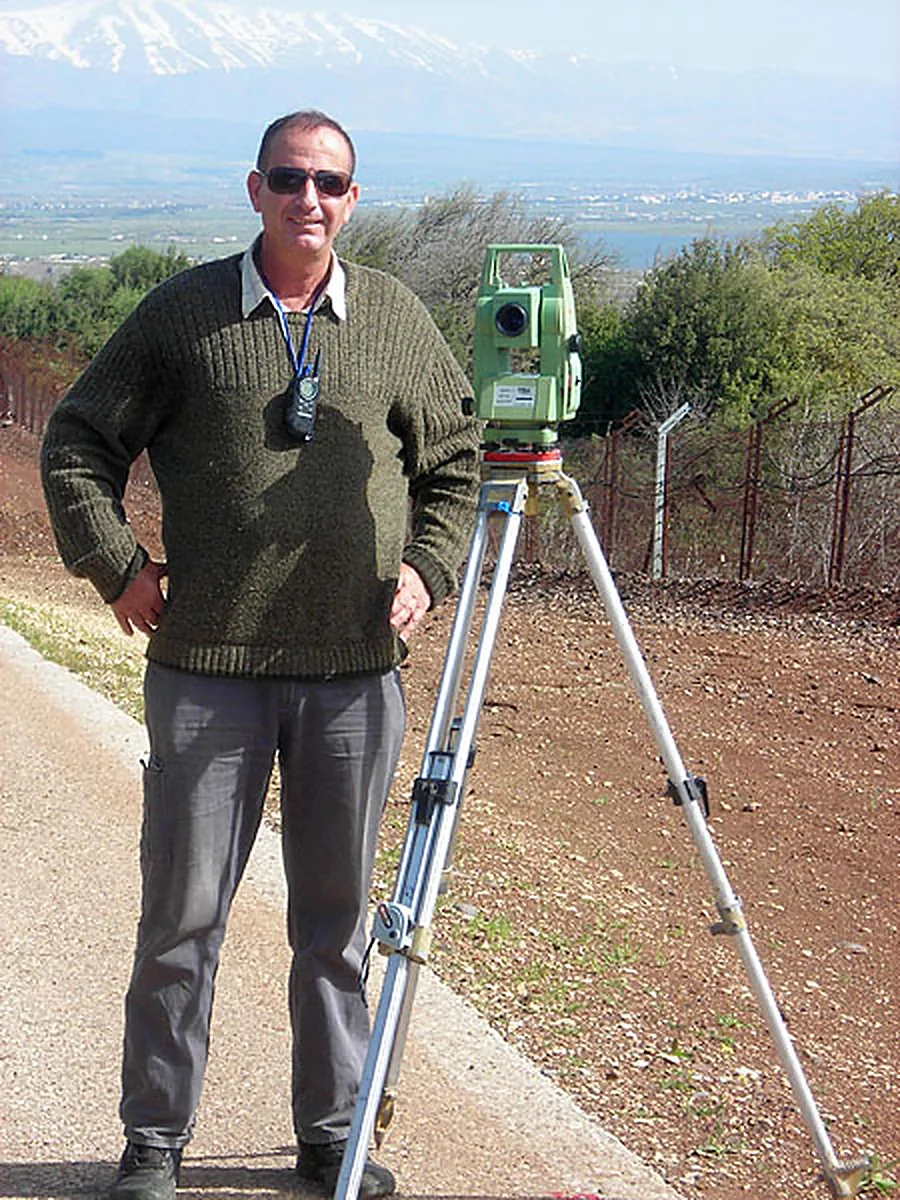
The company operates 6 full land-survey crews on an ongoing basis. The size of the crews lets us serve both large infrastructure projects and individual jobs, and advance several sites in parallel — staffed by certified engineers and surveyors.
Areas of expertise
- Surveys for planning — detailed surveys of existing conditions, the basis for architectural, engineering and infrastructure design.
- Site surveyors for the Ministry of Construction & Housing — site-surveyor services for the Ministry’s construction and development projects.
- Site surveyors for the Israel Land Authority — survey support for Israel Land Authority projects.
- Expropriation plans — surveys and plan preparation for land expropriation, including in transport and infrastructure projects.
- Geodetic control networks (vertical and horizontal) — a network of precise points in height and plan that ties every measurement and deliverable in a project to a single, consistent coordinate system.
- GPS control points — establishing control points through satellite surveying.
- Property-tax (arnona) surveys — measuring property areas for billing purposes.
- Surveys abroad — the company also performs surveys outside Israel.
In addition, the company performs surveys for building permits, surveys supporting town-plan preparation, interior surveys for architectural design, quality-control and supervision surveys on infrastructure projects, underground-utility surveying and tree surveys.
Equipment and technology
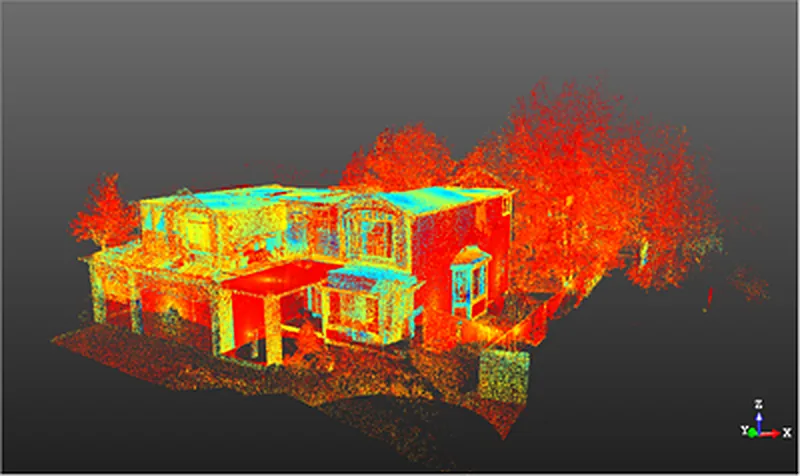
Land surveys are carried out with advanced technological equipment, including laser measurement systems and GPS‑RTK systems. When a project calls for it, traditional tools such as levels and distance meters, terrestrial scanners, drones and 3D modelling and BIM technologies are used as well.
Continuous improvement
The company is committed to constantly improving its products as technology and other developments advance — so clients receive deliverables that are accurate, up to date and easy to use in the next stages of design and construction.
Integrated with the company’s other fields
Land surveying works together with aerial mapping, LiDAR scanning and the appraisal, cadastre and registration department — so a multidisciplinary service can be provided under one roof, by the company’s own staff: expropriation-process support, surveys for town plans, registration plans and land registration, and road and infrastructure surveys for various purposes.
Frequently asked questions
How many land-survey crews does the company operate?
What types of land surveys does the company perform?
What equipment is used for the surveys?
What is a geodetic control network and why does it matter?
Does the company also survey outside Israel?
More services
Interested in this service?
We'll accompany you from planning to final deliverables.