Netivei Israel — hundreds of kilometres of national roads
Surveying, registration plans and expropriations along hundreds of kilometres of roads — from Route 2 to Route 443 — plus orthophoto for the Eilat railway project.
Our services
Guides & articles
LiDAR & marine mapping
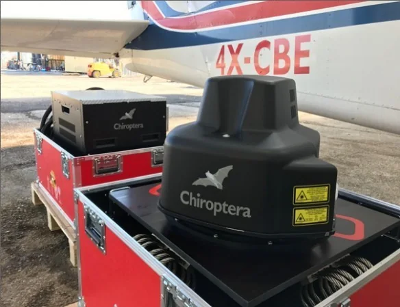
A unique job mapping areas and depths in the Dead Sea for documentation and quantity monitoring, using the Chiroptera 4x LiDAR system.
Hetz Hazafon’s Chiroptera 4x performs a unique job of mapping areas and depths in the Dead Sea for documentation and quantity monitoring.
A continuous airborne scan — topography and bathymetry simultaneously, as one unit at high point density — allows scan dates to be compared and changes in volume and area to be calculated at high accuracy, without sailing in the sea’s harsh waters.
The system has a precise IMU and carries a digital mapping camera; it is flown on the company’s twin-engine Piper Aztec aircraft.