Transport infrastructure
Netivei Israel — hundreds of kilometres of national roads
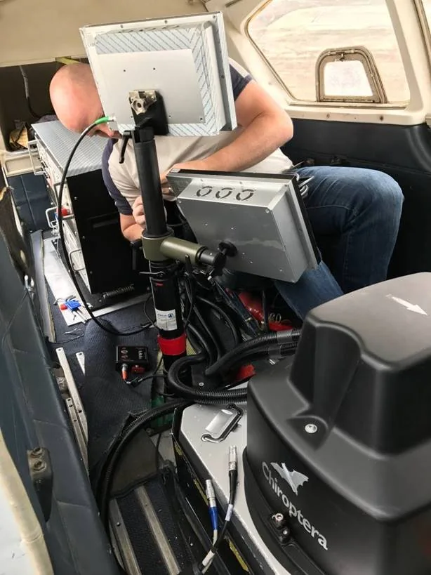
Surveying, registration plans and expropriations along hundreds of kilometres of roads — from Route 2 to Route 443 — plus orthophoto for the Eilat railway project.